
My personal observation in Bloomington, Indiana @11:30pm
I just went outside and looked around. It sounds and feels like rain to me. I didn't see any slick spots. We got very lucky and today's warm air advection plus the solar radiation (aka sunshine) helped us out. We got lucky.

Is it snowing it your neighborhood?
As a kid growing up, I used to wonder if it ever snowed in one neighborhood and not in an adjoining neighborhood. These radar returns take me back to that memory.


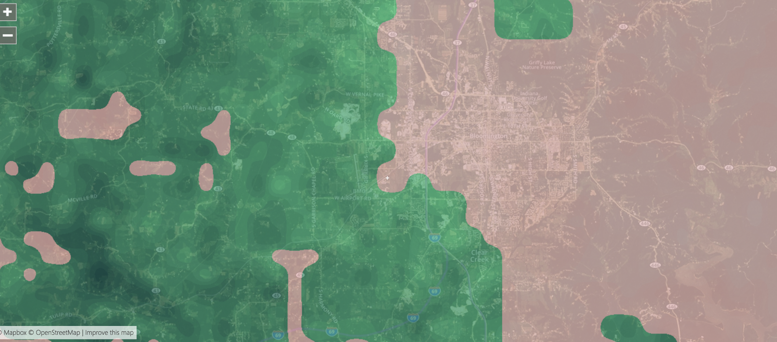

There will be lots of pontificating tomorrow is this turns out to be true.
What if this is true? There is no ice and just rain that changes to snow at 3:00am with minor accumulations?


Warm air is winning out so far, can it last?
I just took a look outside and it appears to be just rain only. I checked the NWS site and saw and interesting post from the National Weather Service. I've never seen a forecast that said "Unknown Precip" before.


INDOT has surface temps slightly higher than mine but only 2 degrees above freezing.
It's currently 6:00pm and INDOT (Indiana Department of Transportation) has two road temperature sensors in Bloomington indicating that road temps are at 34 degrees. Those will likely fall. As I'm typing this I can hear police, fire and ems sirens getting louder and louder so accidents must be happening already. Please be careful.


Why you should take the ice threat seriously.
Earlier today I posted that the NWS (National Weather Service) official high temperature forecast for Bloomington Indiana was 35 degrees and yet we exceeded that by 2 degrees and it was actually 37 degrees. I think a lot of people might be misled by that and would come to the conclusion that since the air temperature is above freezing that everything will be fine and we'll get rain tonight. That's not the case. Even though the air temperature is above freezing, the ground temperature is far below freezing and this is why freezing rain is most likely. This is a classic setup for an icing event. I got my laser gun thermometer out and did some spot checks. (This is in Bloomington, Indiana). Check out these ground temperatures:
Asphalt / Pavements

Sidewalks

A tree

So please take it seriously and be careful.
Asphalt / Pavements

Sidewalks

A tree

So please take it seriously and be careful.
Today is the first day above freezing since Christmas Day!
Bloomington Indiana has been below freezing for a total of 13 days. Interestingly enough, the current temperature is 37 degrees and was forecast to be only 35.


You can see the direction of where the warm air push is coming from.

The tornado sirens just sounded in Bloomington and what about Sunday?
No need to worry about the tornado sirens as that was our weekly Friday noon-time test.
It's currently 12 degrees outside and sunny with a light wind of 8mph. The big news is what might happen on Sunday, December 7th. Everything is on the table; rain, freezing, sleet, snow or a mixture of all. Even the National Weather Service seem unsure. The NWS is looking at it like this:
It's currently 12 degrees outside and sunny with a light wind of 8mph. The big news is what might happen on Sunday, December 7th. Everything is on the table; rain, freezing, sleet, snow or a mixture of all. Even the National Weather Service seem unsure. The NWS is looking at it like this:
SHORT TERM /Tonight through Monday/...
Issued at 352 AM EST Fri Jan 5 2018

Forecast challenges focus on temperatures initially..then shift to a
complex system as moisture advects into the region ahead of an
approaching cold front for late weekend set to bring potentially
several precip types.

The aforementioned high pressure will build south through the Great
Lakes and the Ohio Valley for the first half of the weekend before
shifting into the Carolinas by Sunday. The presence of the high over
the area through Saturday night will essentially continue the dry
and bitterly cold pattern that has dominated 2018 so far. Deep
subsidence over the region will maintain mostly clear skies across
the area into Saturday night.

Model consensus present in finally lifting out by Sunday the
amplified upper trough which has parked across the eastern part of
the country for the better part of the last two weeks. Quasi-zonal
flow will replace the trough with a piece of energy poised to
rapidly track east from the Pacific coast Saturday night into the
lower Mississippi Valley by Monday morning. At the same time...
northern stream energy will drop out of the Canadian prairies
serving to reestablish some level of a mid level trough by late
Monday. How exactly these two features interact with a cold front
approaching at the surface remains in question and leads to a
challenging precip type forecast for central Indiana.

The primary issue is how strong the warm advection is ahead of the
front...especially for Sunday night and Monday. Initially on Sunday
afternoon...precipitation will largely fall as snow with perhaps a
light accumulation in spots. The global models /GGEM and ECMWF/ are
both more muted with warm advection into the area while the NAM and
especially GFS appear more aggressive with boundary layer warmth
Sunday night into Monday. Considering the duration and intensity of
the bitterly cold airmass experienced over the last 10-14
days...have some doubts as to how extensive warming aloft will be
and am more comfortable at this point leaning more towards the
colder global solutions. That being said...even the global guidance
advects above freezing air into the boundary layer Sunday night and
Monday that poses problems for precip type with soundings suggestive
of a transition from snow to a snow/liquid mix or all liquid.

Another and frankly more important factor to take into account is
the near surface layer and ground temperatures. Current road temps
have been as low as the single digits and teens and with more
substantial surface warming not arriving until late Sunday at the
earliest...really have a difficult time seeing ground temperatures
warm substantially enough to enable rain as the primary precip type
for any length of time. Am actually concerned that any period with
all liquid precipitation will likely support an enhanced freezing
rain potential with subfreezing ground temperatures...even if
surface temps can get into the mid 30s for a few hours.

With this in mind...am comfortable in introducing a potential for
freezing rain into the forecast Sunday night and Monday along with
other precip types. There are still many details to work out for
Sunday and Monday but at this point...feel the ceiling for a
snow/freezing rain mix is much higher than a snow/rain or all rain
threat. Stay tuned as additional detail is employed into the
forecast over the next 24 to 48 hours.

Temps...continued with persistence and largely undercut temps within
the cold airmass through Saturday night. Tonight will be the coldest
night as the entire area goes subzero. Highs will mainly be in the
teens Saturday...then jump into the upper 20s and lower 30s Sunday
and 30s on Monday. Nudged temperatures down Sunday through Monday
with concerns that models are overdoing warmth in general.

&&
Arctic high pressure
Haven't seen high pressure this high in a long time. The brass needle is where normal usually is and the red needle is the current measurement.


Subscribe to:
Posts (Atom)