As of now, the National Weather Service has issued a neutral or "normal" forecast for the upcoming winter pattern. I am leaning towards a very weak La Nina pattern. Here is my rendition of what might happen:
Looking at the image above, you can see that I think the angle of attack will result in more cold and snow for the northern plains, the upper great lakes and the northeast. Here are some example of what a strong La Nina pattern looks like in winter:
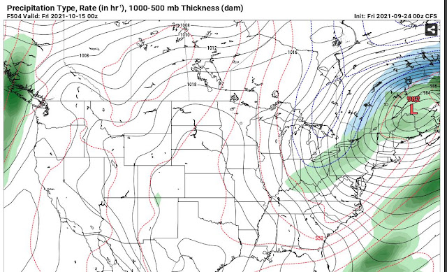
Here are some current examples from computer models that kind of illustrate what I'm saying. Keep in mind that fall just started so the cold air attacks are not as deep right now.
To support my thinking on this, here's an article dated September 9, 2021 that says, "U.S. forecaster says La Nina could emerge in coming months".


No comments:
Post a Comment