All hell breaks loose in Bloomington Indiana!

Well, not quite. Hail began falling in the Bloomington, Indiana area on Sunday, March 28 around 8:18pm. The NWS prefers measurements by comparison to coins or with a ruler. They hate the phrase "marble sized" hail.


It sounded a lot worse than it was. I didn't see any damage to cars in the area though. 34 degrees and some patchy light frost tonight. Rain and storms possible again Thursday.

Polar Vortex Rumors.

It's a beautiful Saturday morning in Bloomington at 52 degrees with sunny skies. It's great day to get out and get some Vitamin D (sunshine). It also helps improve your mood especially after IU's tough loss to North Carolina last night.

AccuWeather dot com has post explaining the cold shot coming. It looks to arrive April 3 -5, 2016. After April 5th, temperatures begin to moderate some.

3/22/2016 10:30AM

If you just heard those sirens down town, they were a test. Most places are going over their tornado drill safety procedures.

Beautiful day today with a high of 66 degrees.

Rain Wednesday night and Thursday with a rain / snow mix possible Thursday night.

Temperatures climb back into the 60's for the weekend.

Tuesday, March 15, 2016

75 degrees and sunny. Just perfect. Enjoy it as winter will try and make a brief come-back this Sunday.

A cold shot of air is coming this Sunday 3/20
 540 is near Atlanta, Georgia but not at the ground layer. We could see a couple of flakes mixed in with rain and the disturbance moves through Indiana. It's not anything major; in fact the NWS has chances at 20-30%.


And then another around Friday 3/25.
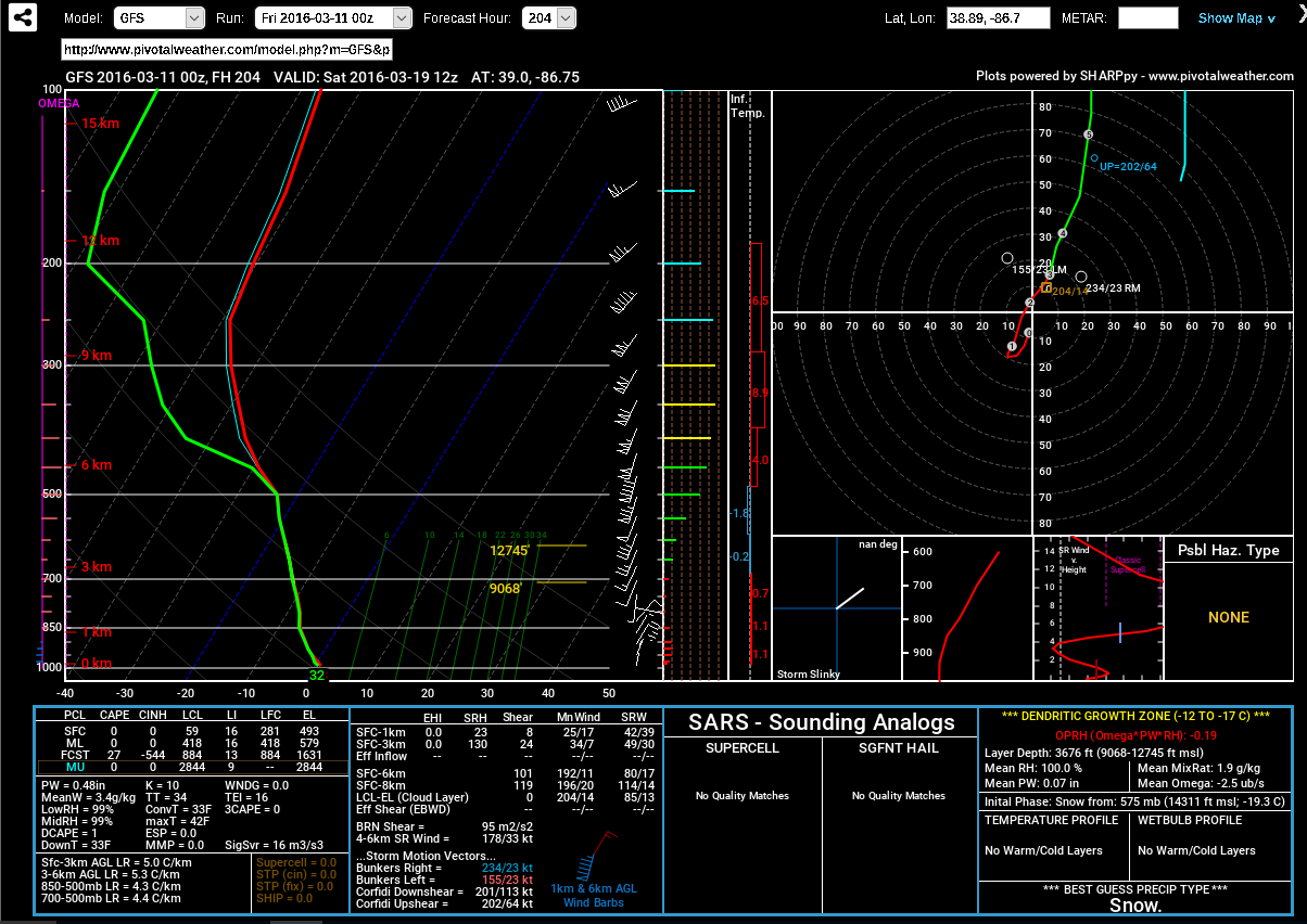
Isn't that a nice shape? It's kind of like a reverse Omega.

3/11/16 @12:00 Update

More rain is on the way. Rain will return tomorrow, Saturday 3/12 through Monday 3/14. Tuesday 3/15 will be mostly sunny with 20% chance of thunderstorms and beware the ides of March! Temperatures will mostly be in the 60's but that will not last for long. Winter will try and make its last stand ironically on the first day of spring. I wouldn't rule out seeing snow again. At least two of the models are hinting at that possibility.

Rain, rain and more rain.

We've had a nice few days of sunshine and temperatures into the 60's and 70's. Currently as of 11:00am (3/9/16) it is 66 degrees. The rain starts after 1:00pm today. Rain chances continue all week long with a break on Friday morning. After that more rain is forecast for Saturday, Sunday and Monday.

Looking at the lone range data, March 16 - 20 needs to be watched carefully. There will be a cool down by March 18th and 19th.

Wednesday, March 2, 2016

There are two chances of snow left before a significant warm up takes place. The first is tonight into tomorrow morning. The next chance will be Friday night. After that we make a transition into warmer weather. I don't want to declare it over yet but it now looks bleak for #BOTS! fans. The monthly outlooks show temperatures above normal for April, May and June. July then looks to be cooler than normal. Those are the NWS outlooks.

Tonight might be your last chance to see some snow for a long time so enjoy it while you can.