Sunshine and Flood Warning.

Enjoy the sunshine! I see people out running and walking today. Beware that the "Flood Warning" remains in effect until 8:15pm tonight. Rivers, creeks and streams will continue to rise downstream and in low-lying areas. According the National Weather Service Office in Indianapolis, we receive nearly 5 inches of rain and so the water has to go somewhere.


811 AM EST SUN FEB 25 2018

The National Weather Service in Indianapolis has issued a

* Flood Warning for...
  Monroe County in south central Indiana...
  Brown County in south central Indiana...

* Until 815 PM EST Sunday

* At 809 AM EST, automated gauges reported flooding along some area
  streams, including Salt Creek and North Fork Salt Creek. Flooding
  is also likely occurring in low lying areas and valleys.

* Some locations that will experience flooding include...
  Bloomington, Nashville, Ellettsville, Stinesville, Indiana
  University, Smithville, Helmsburg, Lake Lemon, Beanblossom, Gnaw
  Bone, Harrodsburg, Spurgeons Corner, Yellowwood Lake, Spearsville,
  Monroe Reservoir, Fairfax State Recreation Area, Woodville Hills,
  Elkinsville, Charles Deam Wilderness and Stone Head.

PRECAUTIONARY/PREPAREDNESS ACTIONS...

Turn around, don`t drown when encountering flooded roads. Most flood
deaths occur in vehicles.

In hilly terrain there are hundreds of low water crossings which are
potentially dangerous in heavy rain. Do not attempt to cross flooded
roads. Find an alternate route.

Red Cross Help & more rain tonight before we get a much needed break.

Up to two inches of additional rainfall is possible tonight. Use extreme caution if driving tonight. There are multiple Red Cross shelters open in Indiana for flood victims. You can call the local Bloomington Red Cross at (812)-332-7292 and the National number is 1-(800)-RED-CROSS or 1-(800)-733-2777. Click on the link below to see a list of shelters open in Indiana.

http://www.redcross.org/get-help/disaster-relief-and-recovery-services/find-an-open-shelter

Strong storms are possible tonight.

Watch as a tight line of storms form over eastern Texas and gradually pushes eastwards.


What to expect next?

It's currently 55 degrees in Bloomington. It's cloudy and not raining as of 12:00p. We are under a flood watch until 7:00am Sunday morning. After that the pattern will moderate somewhat and we'll see more sunshine. There's a marginal risk for strong storms on Saturday so that's something to pay close attention to.


Winter will make it's return on March 2. The southeast ridge that is present now will break down on March 2. That is what has been giving us so much rain. After that happens, we'll see more cold weather. Take a look at these:


Flood Watch posted for Monroe County Indiana and most of central Indiana.

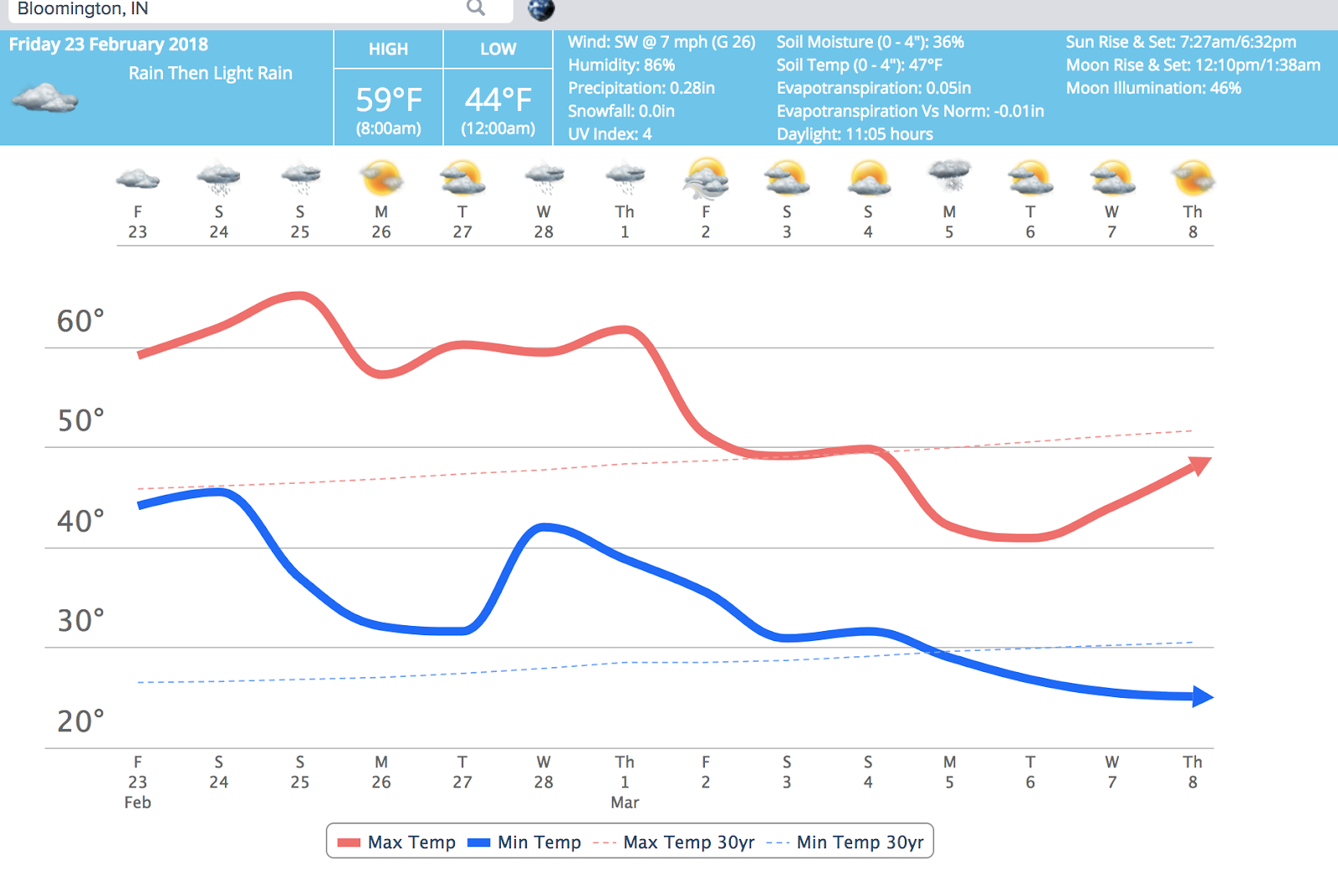
Heavy rain looks likey over our southern Indiana counties.


Here's the Flood Watch statement:

...FLOOD WATCH IN EFFECT FROM 10 PM EST THIS EVENING THROUGH
SUNDAY MORNING...

The National Weather Service in Indianapolis has issued a

* Flood Watch for portions of central Indiana, east central
  Indiana, south central Indiana, southeast Indiana, southwest
  Indiana, and west central Indiana, including the following
  areas, in central Indiana, Bartholomew, Decatur, Hancock,
  Hendricks, Johnson, Marion, Morgan, Rush, and Shelby. In east
  central Indiana, Henry. In south central Indiana, Brown,
  Jackson, Lawrence, and Monroe. In southeast Indiana, Jennings.
  In southwest Indiana, Daviess, Greene, Knox, Martin, and
  Sullivan. In west central Indiana, Clay, Owen, Putnam, and
  Vigo.

* From 10 PM EST this evening through Sunday morning

* Rainfall of 2 to 3 inches or more is expected through Sunday
  morning, in areas that have already received as much as 4 inches
  of rainfall in the last week. This will likely worsen flooding
  on area waterways and lead to flooding of other streams, low
  lying areas, and poor drainage areas.

PRECAUTIONARY/PREPAREDNESS ACTIONS...

A Flood Watch means there is a potential for flooding based on
current forecasts.

You should monitor later forecasts and be alert for possible
Flood Warnings. Those living in areas prone to flooding should be
prepared to take action should flooding develop.

Saturday @ 11:45am - Snow is sticking on trees, grass and cars.


At 11:00am it is currently snowing in Bloomington, Indiana

The temperature is 32 degrees. I'll take snow over freezing rain any day. From 60 degrees to snow showers in just a few days; boy this is definitely Indiana weather.

The hi-res NAM model was correct for it modeling of snow today back on Thursday.

The warm air will return on Monday and stick around for the next two weeks. There will be small intrusions of cod air but the overall pattern for the next two weeks will be near to above normal temperatures and lots of rain next week.

Winter is not over as can been seen by looking outside your window right now. Beyond the two week period there are signs that the cold air will make come-back around Friday March 2 or Saturday March 3rd. (See the GFS 2M A.T. below)


Will the snow return after March 4th? That is too far out to tell with any degree of certainty but one long range model hints at it. Again, a lot can change in two weeks so this is not set in stone.


Flip-flop?

The indices that were indicating a cold return flipped to a warmer and wetter pattern over the weekend. This is an example of how quickly things can change. All indications are that it will be rainy and warm until the first of March. It's okay #BOTS fans; winter is not over.

Also, watch out for potholes. Does anyone else notice their memory improving when detecting where the potholes are in Bloomington?

Freezing rain in Bloomington right now.

There’s freezing rain happening in Bloomington right now. Main roads are fine but side walks, bridges and grassy areas are slick. Traffic is not too bad on the south side near Starbucks. It should be over by noon.


Will Bloomington to be safe from freezing rain threat?

This setup looks similar to our February 5th storm. I think ice and snow will appear to our north and rain well to our south. I think we're going to get lucky.


Remnants of the Ghost Storm


Another Ghost Storm!

Interesting. I guess the dry air aloft ate into the snow totals. I fully expected at least 2 inches of snow on the ground this morning. We barely had a dusting of snow in Bloomington.

A Weather Advisory has been posted for Monroe County.

We're looking at 2 inches of snow so this is not a big deal
in terms of snow accumulations. The problem is the ice that
will be mixed in with and how that impacts Wednesday morning's
travel conditions.
_____________________________


URGENT - WINTER WEATHER MESSAGE
National Weather Service Indianapolis IN
350 AM EST Tue Feb 6 2018

INZ057-060>065-067>072-061700-
/O.NEW.KIND.WW.Y.0004.180207T0300Z-180207T1500Z/
Rush-Sullivan-Greene-Monroe-Brown-Bartholomew-Decatur-Knox-
Daviess-Martin-Lawrence-Jackson-Jennings-
Including the cities of Bloomington, Columbus, Vincennes,
Bedford, and Seymour
350 AM EST Tue Feb 6 2018

...WINTER WEATHER ADVISORY IN EFFECT FROM 10 PM THIS EVENING TO
10 AM EST WEDNESDAY...

* WHAT...Mixed precipitation expected. Total snow accumulations
  of up to two inches and ice accumulations of a light glaze are
  expected.

* WHERE...Portions of central, south central, southeast and
  southwest Indiana.

* WHEN...From 10 PM this evening to 10 AM EST Wednesday.

* ADDITIONAL DETAILS...Plan on slippery road conditions,
  including during the morning commute on Wednesday. Be prepared
  for reduced visibilities at times.

PRECAUTIONARY/PREPAREDNESS ACTIONS...

A Winter Weather Advisory means that periods of snow, sleet or
freezing rain will cause travel difficulties. Be prepared for
slippery roads and limited visibilities, and use caution while
driving. The latest road conditions for Indiana can be obtained
by
calling 1 800 2 6 1 7 6 2 3

&&

Chaos Theory.

The high resolution NAM computer model is usually very reliable 24 hours out from an event. It is saying that the Tuesday night storm splits into two parts and gives central Indiana nothing at all. Wow!


The National Weather Service is saying that there is an 80% chance of snow and ice mixed together. Hmmmm...


Cold until Friday.

It was 11 degrees this morning on my drive into town.

It's going to be cold until Friday. On Friday, Saturday and Sunday the high temperatures will be around 40 degrees. That could also change depending on how much snow we get.

There's a 50% chance of snow tonight after 10pm. There's a better chance for snow Tuesday night. The chance stands at 80% so that is likely to happen.

As for the long term, the models are in disagreement over how long the cold sticks around. The Canadian model keeps us cold until February 15th. The American model has warming up around February 9th and up to 70 degrees by February 13th. The Euro is suggesting warm air arrives by the February 15th. Another model called the (Icosahedral Nonhydrostatic Model Analysis) or ICON has it cold until February 13th.

Here's how the NWS sees things:

.NEAR TERM /Today/...

Issued at 210 AM EST Mon Feb 5 2018

Surface analysis early this morning shows arctic high pressure
centered over Missouri. Cold NW flow was in place across Indiana.
GOES16 showed some lake cloud steaming off of Lake Michigan and a
few associated flurries within that flow had made their way to
parts of eastern central Indiana. Water Vapor imagery shows mainly
a quick NW flow in place...with the next wave entering the western
plains.

Forecast soundings and time heights show a dry column today along
with subsidence. Models suggest that the surface high over
Missouri will quickly pass across Kentucky and Southern Indiana.
Thus with plenty of dry air and subsidence in place...only a few
high clouds will be expected within the quick flow aloft. THus
partly cloudy should work fine.

Flurries from last night and the ongoing cold air advection may
still result in some slick spots early this morning on untreated
surfaces...will continue to mention with an SPS this morning.

Temperature wise...cold air advection continues through mid
day...before the high quickly shifts east of Indiana and flow
becomes more southerly. Given our cold start this morning and cold
air advection for much of the day...will still trend highs at or
below the forecast builder blend.

&&

.SHORT TERM /Tonight through Wednesday Night/...

Issued at 210 AM EST Mon Feb 5 2018

GFS and NAm suggest a quick moving short wave...currently entering
the western plains to arrive across Indiana this evening. Forecast
sounding quickly saturated this evening in response to this wave
and Time heights show good saturation aloft...but limited
moisture within the lower levels. At the surface...a poorly
defined cusp area looks to pass across the area. Thus confidence
for precip is a bit low with this system as the lower levels seem
ill defined and the models continue to have a bit of trouble
handling the upper waves. Furthermore...the dry air within the
lower levels did in our last system...and the dry within the lower
levels is expected to be back as dew points in the single digits
or less are the rule across the area. Thus will trend pops tonight
at or below the forecast builder blend with low confidence. Given
the SW lower level flow...warm air advection and clouds
expected...will trend lows at or above forecast builder blends.

Another large and quick moving high pressure system will push
across the area on Tuesday. Time heights showing dry air within
the column once again...but this time some lower lever moisture
looks trapped within the cold air advection. This moisture looks
to mix out by late in the day. Thus morning clouds should be
giving way to some afternoon peeks of sun. Will trend highs on
Tuesday at or below the forecast builder blends given the ongoing
cold air advection.

A stronger and more organized short wave trough looks to push
toward Indiana on Late Tuesday night into Wednesday. At this
point...a more favorable set-up for precipitation appears as the
flow aloft ahead of the wave becomes SWerly...allowing a surge of
moisture into the Ohio Valley. Lower levels also set up a bit
more organized as a frontal boundary across Kentucky and Tennessee
shows a sharp gradient and an focus area for lower level
convergence. Forecast soundings show good saturation and moisture
during the overnight period and on early Wednesday. Better
chances look to exist farther south on Tuesday Night and
Wednesday...closer to the frontal boundary area of focus. Overall
however...confidence in the models is low due to the poor
performance as of late. Thus will stick close to the forecast
builder blend for now...taking the wait and see approach.

By Wednesday Night...the models suggest High pressure and
subsidence return to Central Indiana as the short wave aloft and
associated trough aloft exit to the east and push the frontal
boundary farther southeast. Thus will trend toward partly cloudy
skies and trend lows at or below the forecast builder blends given
the cold air advection and NW lower level flow.

&&

Of legend and lore.

Punxsutawney Phil (aka the Groundhog) saw his shadow today so that means six more weeks of winter. This time the data might actually agree with that.

Local Update 2/1 at 1:15pm

I was just out on Kirkwood a few minutes ago and there were one or two flurries but they were hardly noticeable. The temperature is 38 and the dew point is 27 so there's a lot of dry air to overcome in order to get snow and that's why the radar shows snow but none of it is falling to the ground.


Welcome February!

The high temperature for today is 41 and then temperatures will fall into the single digits. We'll see a low of 7 to 9 degrees above zero tonight. This time last week the models were indicating that we would see a healthy amount of snow today. We can write that off as a ghost storm. There's a 20% chance of rain for today with snow more likely south of us. Here's the setup for that scenario:


Snow is also possible this weekend. Make your Super Bowl 52 plans accordingly.