


Winter is going to try to make a comeback during the last week of April. There are signs of a snowstorm brewing next Sunday into Monday. Yes. I am for real. #BOTS!
Our snowmaker is currently out west over Nebraska. I would like for it head southeastwards toward Bloomington but that will never happen.

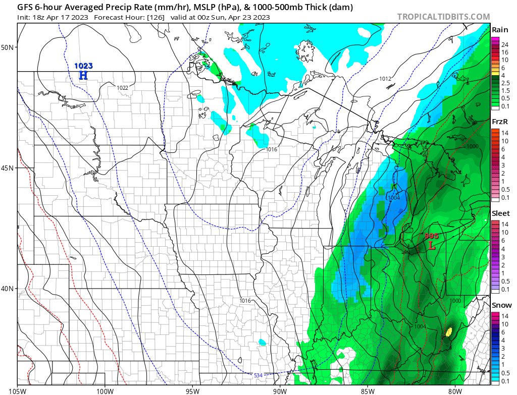
.Long Term...(Sunday through Friday)
Issued at 243 AM EDT Sat Apr 15 2023

Sunday Through Monday.

Models have come much more closely in line for the Saturday night
through Sunday system with a frontal passage expected during the mid
morning hours across central Indiana as a strong closed low tracks
from Southern Iowa into Northern Illinois. Showers will likely be
ongoing at 8AM across the western counties with widespread showers
and a few rumbles of thunder through the early afternoon hours. With
the timing of the system instability is minimal with less than 500
J/kg of CAPE expected which will limit any severe threat. In the
aftermath of the frontal passage, gradient winds will begin to
increase as a result of tightening pressure gradients with
occasional gusts to 30-35 mph. These stronger winds will continue
into the overnight hours and Monday.

Focus then shifts to the backend portion of the system Sunday night
into Monday as the upper level low tracks into Michigan and strong
CAA arrives behind the front both at the surface and aloft. By late
Sunday night into early Monday, temperatures will have dropped into
the upper 30s with the potential for snow to briefly mix in across
the northern counties. Accumulations are not expected due to the
warm ground temperatures.

Unpleasant conditions will continue through the day on Monday with
strong westerly to northwesterly flow, cool temperatures, and cloudy
skies. Near freezing temperatures are then expected Monday night
across the northern counties so will have to continue to monitor the
forecast trends for any potential Frost/Freeze headlines. Winds
across the area that will be coldest should stay above 10 mph which
will limit the frost chances.

Tuesday Through Friday.

Conditions will then quickly begin to going into the middle portions
of the week as southerly flow returns and high pressure gradually
builds across the area. This high pressure will then begin to break
down Thursday as the next system begins to approach the area.  There
remains a high amount of uncertainty with the evolution of the next
low pressure system, but think that by Friday rain chances will
gradually begin to increase with better model consensus on the
arrival of another frontal system. Dewpoints look marginal with
this system as the Gulf moisture remains locked in the Tennessee
Valley which will limit the instability and severe weather threat.
Some people like it, some don't. I'm a fan of the legacy version.
National Radar:
https://radar.weather.gov/region/conus/standard
Indiana radar:
https://radar.weather.gov/station/KIND/standard
(Warning: I got this from social media. We live in a world where there are deepfakes anything can be created to look real. I am skeptical that anyone can catch a lightening strike on house but thought I would share this anyway.)


The line of storms to our west will arrive in Bloomington between 2pm and 3pm so you'll want to be in your safe place by then.


