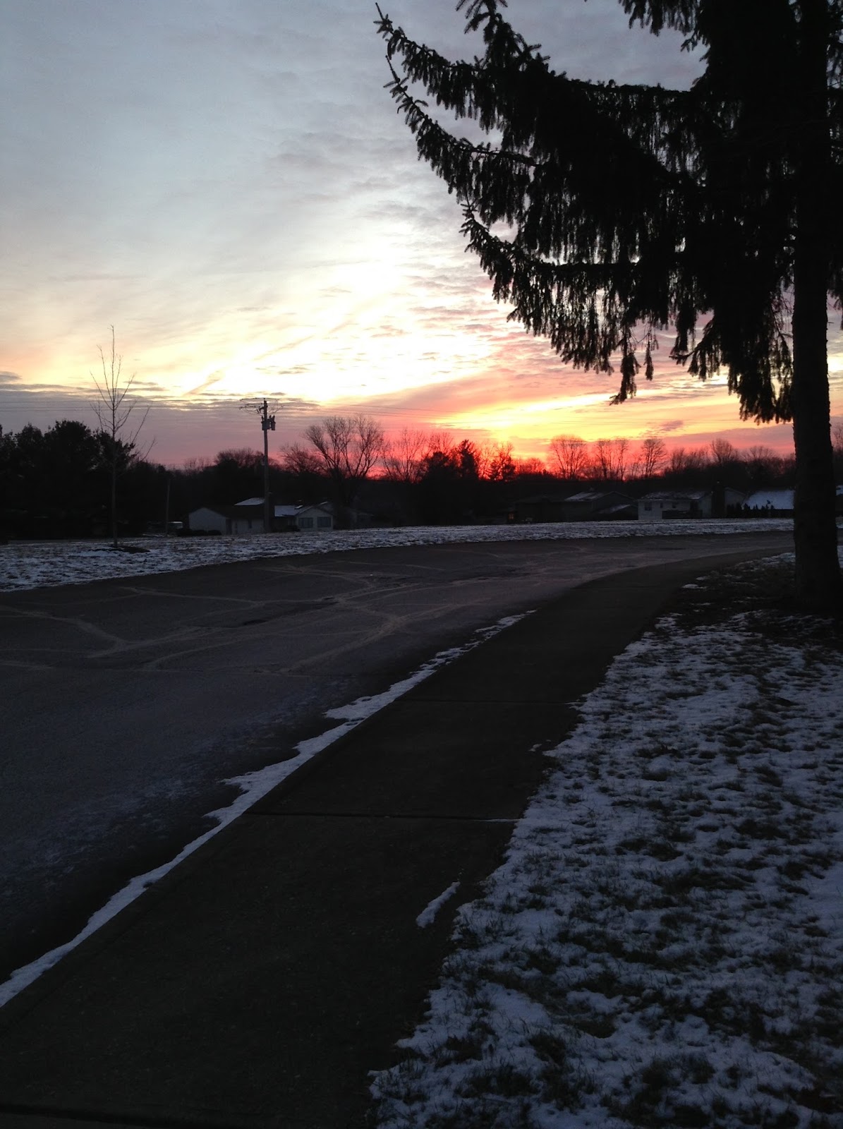
There was one arctic air light pillar this morning in Bloomington, Indiana. The pictures are not the greatest and it's hard to see but it was clearly visible to the naked eye.
Ha! That rhymes. There was a rain / snow mix at 36 degrees in Bloomington at about 9:00am. Not much else has changed. Accumulating snow is likely north of I-70. There may be up to an inch in the Bloomington area.
.NEAR TERM /Tonight and Saturday/...
Issued at 244 PM EST Fri Dec 22 2017

The main focus tonight and Saturday will be on precipitation
coverage, type, and timing of changeover and or mix along with
temperatures as a second cold front will drop through area overnight
as the first one exits southeast early this evening. Following
that, an upper wave will move through on Saturday.

Model 295K isentropic analysis was showing low condensation pressure
deficits spreading northwest this overnight to the northwest of the
first cold front that may briefly stall or slow down, along the Ohio
River, ahead of the second one. This should bring more widespread
rain to all but areas north or Tipton and Crawfordsville. As the
cold front sweeps through overnight, areas mostly near and north of
Interstate 70 could see light snow accumulation. Forecast Builder
was indicating a potential narrow band southwest to northeast
oriented snow band of up to 1 inch near and north of Interstate 70
but with lesser to no accumulation northwest of a Kokomo to
Frankfort to Newport line. Confidence is not great in snow amounts
due to much drier air moving in, warm road and grassy surfaces and
slightly above freezing surface temperatures. Any precipitation
should being ending from northwest to southeast Saturday afternoon
in the wake of the upper wave.

With such a big airmass change, confidence is only low to moderate
on temperatures to within a couple of degrees, so accepted the blend
with overnight lows tonight in the lower to middle 30s and highs
Saturday only in the middle 30s north to around 40 south.

&&

.SHORT TERM /Saturday night through Christmas Day/...
Issued at 244 PM EST Fri Dec 22 2017

Big challenge for the short term will be snowfall amounts and
potential headlines for the northern half of the forecast area.

Models in decent agreement that a deep and cold Canadian upper
trough will pivot across central Indiana on Christmas Eve. Models,
especially the 12z GFS were showing strong QVector convergence in
the 850 to 500 millibar level pivoting over our northern counties
Christmas Eve morning and afternoon before exiting northeast early
Christmas Eve evening. With sub-freezing temperatures throughout the
column , deep moisture per model soundings, snow ratios 15 to 20 to
1 suggesting dendritic growth potential and fairly impressive
forcing, blend snow amounts of 2 to 4 inches near and north of I-70
look reasonable. Medium confidence, the Kokomo and Lafayette areas
will likely see the highest amounts. With those snow amounts and
the travel impact, feel moderately to highly confident headlines may
be needed for Sunday and Sunday evening from around Vincennes to
Marion county and north. However, after coordination and being the
fourth period of the forecast, decided to hold off for now and go
with a Special Weather Statement and will hit strongly in the
Hazardous Weather Outlook and weather story.

The snow will be ending quickly over the northeastern counties
Christmas Eve evening with modified arctic high pressure nudging in
from the northwest and resulting in cold but dry weather on
Christmas Day. There could even be some clearing. Confidence on
temperatures is low due to the expected snow pack. However, a good
bet that at least the northern counties will be at least as cold as
the blend with lows early Christmas morning in the tees and highs in
the upper 20s at best.
"Little" is the keyword here, especially south of I-70. I say that because I can see that there are various snow maps out there saying that we could get up to 3-5 inches of snow. That's just exaggerated. Had we been below freezing for the last 48 hours then it could be a possibility but it's just not likely given how warm the ground temperature is. That doesn't mean we wont see any accumulation though. The National Weather Service has just issued a Special Weather Statement that include Monroe County.
Special Weather Statement
National Weather Service Indianapolis IN
334 PM EST Fri Dec 22 2017

INZ021-028>031-035>049-051>057-060>065-230445-
Carroll-Warren-Tippecanoe-Clinton-Howard-Fountain-Montgomery-
Boone-Tipton-Hamilton-Madison-Delaware-Randolph-Vermillion-Parke-
Putnam-Hendricks-Marion-Hancock-Henry-Vigo-Clay-Owen-Morgan-
Johnson-Shelby-Rush-Sullivan-Greene-Monroe-Brown-Bartholomew-
Decatur-
Including the cities of Lafayette, Frankfort, Kokomo,
Crawfordsville, Anderson, Muncie, Indianapolis, Terre Haute,
Shelbyville, Bloomington, and Columbus
334 PM EST Fri Dec 22 2017


...Accumulating Snow likely this Holiday Weekend...

Light accumulating snow is likely this weekend. An inch or less is
expected overnight tonight and Saturday over areas mainly near and
north of Interstate 70. A more significant snowfall is expected
Christmas Eve day and early Christmas Eve evening. 2 to 4 inches
of accumulation is possible near and north of Interstate 70.

Motorists should be alert to the potential of accumulating snow
over the Holiday weekend and allow extra time for travel. Stay
tuned for further updates from the National Weather Service
Indianapolis.
Some of the models are keeping the storm track to our south. The south east ridge may not be as strong as we thought. The storm track looks something like this:
The pattern is going to relax a bit and then change again. It will warm into the mid 40's on Saturday 12/16 and high temps will stay in the mid 40's until Thursday 12/21 of next week. After that temperatures will fall back into the 30's for highs.
There's a lot of talk about a Christmas Eve snowstorm but that is too far away to think about. Why do I say that? Well, we could get some snow but we could also get this:
This hazardous weather outlook is for central Indiana.

.DAY ONE...Today and Tonight.

Outlook: The wind chill will drop to the teens and even upper single
digits at times tonight.

Discussion: A modified arctic front will move in from the north late
today and tonight.

.DAYS TWO THROUGH SEVEN...Thursday through Tuesday.

Outlook: Snow showers will be possible Friday night and Saturday as
an upper wave moves through the Ohio Valley. Light snow accumulation
is possible. There will be another chance of snow Monday night and
Tuesday with another wave.

Discussion: Upper waves will reinforce the cold weather and
occasional chances for snow to the area into next week. The wind
chill will drop to the teens and even upper single digits at times.
.LONG TERM /Tuesday through Friday/...
Issued at 220 AM EST Sat Dec 2 2017

High confidence that temperatures will be plummeting early in the
long term. Models in good agreement that a strong cold front will
sweep east across central Indiana early Tuesday. The 00z GFS and
Canadian runs were quicker than 12z ECMWF were around 6 hours
quicker with this front and lingering QPF. The blend seemed to side
closer to the ECMWF solution. Confidence in exact timing is not
great, but either way the bulk of the showers should end no later
than Tuesday afternoon and likely earlier and temperatures will be
falling in cold post-frontal advection.

The next issue will be temperatures as models agree that various
waves and high amplitude western ridging will allow for a deep
trough to expand south and eastward over the Great Lakes and Ohio
Valley through the remainder of next week. Model 850 millibar
temperatures fall all the way to the negative teens late next week.
This modified arctic airmass suggests late week temperatures may
struggle to reach the freezing mark over our far northern counties.
Canadian and GFS in particular suggest a clipper system will drop
southeast across the area Thursday night and Friday with the
potential for our first light snow accumulation possible. Overall,
blend temperatures may not be cold enough.
Enjoy the warm weather while it lasts. By December 6th we'll see sustained high temperatures in the 30's. There is a possibility that we might see some snow a week later between December 13th and 16th. This colder pattern looks to hold in place for about ten days to two weeks and I think the pattern will ease up a little just after Christmas but that is too far away to tell right now. So once again, enjoy the warm weather while it lasts.
Also, there could be a risk for some severe weather during the transition to colder weather on December 6th.
Thanksgiving week will be a wild ride. High temperatures will be in the 50's some days and in the 30's on other days. Up and down... up and down. See the animation below for next week. I don't see any clear signs of snow showing up just yet. Hang in there,
#BOTS!
.LONG TERM /Tuesday Night through Saturday/...

Issued at 142 PM EST Sat Nov 11 2017

Quasi-zonal flow ends going into this period as several mid/high
level shortwave troughs will move over the area and bring periods
of rain. First wave will move from Alberta into the Great Lakes
Tuesday and Wednesday bring the first round of rain, then the next
one will move from the Pacific Northwest into the Plains starting
precipitation possibly as early as Thursday night, more likely on
Friday into early Saturday. There is low confidence in the
precipitation starting as early as Thursday like the Euro, but
maybe wait until Friday afternoon, which is what the GFS is
leaning towards. Both models bring a southerly advection of
moisture northward into the area, so there may be some moderate
rainfall with each of these systems. At this point in time, it
looks like the Friday system, but will keep a low confidence right
now on the timing/intensity of the second storm system.

Temperatures are forecast to be into the lower half of the 50s
Tuesday through Thursday before falling into the 40s again
Saturday. Low temperatures will generally be in the mid or upper
30s with the exception of Friday morning when lows are forecast in
the low/mid 40s.
There are a number of amateur and non-amateur weather geeks and weather nerds out there. You add that to the numerous websites that have free access to forecasting models and you're bound to hear some crazy gossip about much snow we are going to see in two weeks.
Yes, two weeks from today is Thanksgiving Day. That's also fourteen days away. There' very low confidence on anything a model churns out that far in advance. It's just not that trustworthy. So beware of internet posts showing charts and graphs depicting snow like this one:
It’s really important that anyone who is in charge of the safety of an institution — a university campus, for example — maintain an updated, working knowledge of how weather warnings work. Tweets sent today by Indiana University today could lead one to believe that its campus safety staff could benefit from some education in that area.
At 1:19 p.m. EST, the Indianapolis office of the National Weather Service (NWS) issued a tornado warning that included a portion of southern Monroe County, Indiana. The warning came with a polygon that clearly showed that the IU campus was not included.
Polygon associated with Nov. 5 tornado warning near Bloomington, IN. The National Weather Service issued the warning only for the area inside the red polygon.
In addition, the text of the warning indicated that “a severe thunderstorm capable of producing a tornado was located 12 miles northwest of Bedford, moving east at 30 mph.” In other words, the storm was not moving toward Bloomington or the IU campus (which is why NWS meteorologists drew the polygon as they did).
Six minutes after the NWS issued the warning, IU sent a tweet at 1:25 regarding what it called a “tornado warning for Bloomington.”
Dr. Kirkpatrick knew what he was talking about. Those sending tweets on behalf of IU demonstrated ignorance of the National Weather Service’s “storm-based warning” system. When the NWS implemented that system a decade ago, it replaced the county-wide warnings to which IU’s tweet refers, with warnings based on polygons that indicate where the actual risk is.
In subsequent tweets, Dr. Kirkpatrick attempted to point that out, as well as the fact that IU’s original tweet was ambiguous. IU’s response:
But is warning people who are not at risk really better than warning only people who are truly at risk? Is doing so truly “safe,” or does it exacerbate existing challenges with getting people to respond appropriately to warnings?
The people at any institution like IU, who are in charge of disseminating public safety information, would do well to take full advantage of the informational resources that exist among their own faculty. Doing so could lead to better weather safety communications in the future.