
Here is the discussion from the NWS:
.SHORT TERM /Tonight through Monday night/...
Issued at 345 AM EDT Sat Apr 6 2019

The main concern for the short term will be the potential for strong
or severe thunderstorms Sunday afternoon and evening.

Models in agreement that a warm front will lift northeast across
central Indiana on Sunday. As it moves through, breaks in morning
convection could allow mixed layer CAPEs to reach or exceed 500 J/KG
during the afternoon. The instability, frontal forcing, and combo of
a southwesterly 35 plus knot low level jet and 55 plus know westerly
mid level jet could see result in some rotating thunderstorms
Sunday afternoon and early evening, especially near the warm
front. Thus, DAY2 SPC Slight Risk for areas near and south of
Bloomington to Columbus looks reasonable as does the Marginal Risk
for rest of the forecast area. Damaging winds and large hail will
be the main threats but can not rule out a tornado or two,
especially near the warm front.

The convection should be ending Monday from northwest to southeast
in the wake of a cold front.

With convection around, confidence in temperatures to within a
degree or two of the blend is not great, but will accept it due to
the uncertainty.
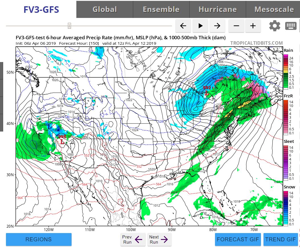
There are some indications that colder weather will try and work its way in toward the middle of April. How strong will it be? How weak will it be? It's way to early to give any details at this point but here is one model's interpretation:

Here is an animation:

Check out these monthly temperature trends:


Good news /bad news scenario:
I hear this complaint every year. I've heard it for many years. Why do we go from winter to summer with very little if any spring at all? Well, the good news is that April will be cooler than normal. Cooler than normal temperatures in March, April and May means fewer tornadoes. That's the good news. The bad news is that by the time we get to May we could see temperatures in the lower to mid 80's. I don't know about you but I'll take it.
Check out this data from May of 2018. Remember when it stayed cold and snow through April? Look at what May looked like. May 14 = 89 Degrees!


The super long range forecasts provides by the NWS. (Three months out)


Okay. That's it for now. Bring on the Summer!
No comments:
Post a Comment