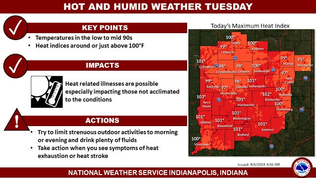
The National Weather Service says:
.LONG TERM (Saturday night through Friday)...
Issued at 259 PM EDT Fri Aug 23 2024

A strong ridge currently located over the southern Plains is
expected to gradually build eastward this weekend. At the surface,
high pressure slides eastward as well allowing winds to become
southwesterly. Strong warm air advection is expected to begin and
continue through the weekend. A trend towards warmer-than-normal
temperatures is likely, with highs once again climbing into the
lower 90s at times.

Ensemble guidance is in good agreement with the aforementioned
synoptic setup and evolution. Uncertainty in the forecast arises
with smaller-scale features that may allow for some precipitation
chances by Sunday. These features (shortwaves riding up and over the
ridge) should interact with a broad area of isentropic lift / warm
advection to help initiate scattered showers/storms late Saturday
into Sunday. Guidance currently keeps the bulk of this activity west
of us across Iowa, Missouri, and Illinois. Nevertheless, there are
some solutions within the broader ensemble that bring precipitation
into Indiana. Will include slight chance PoPs on Sunday to account
for this, but confidence is low given rather ambiguous model support.

Next week, ensemble guidance hints that the ridge flattens a bit.
Despite this, above-normal temperatures should persist as no air
mass change appears imminent. Combined with humidity, heat indices
may approach criteria level Monday and Tuesday. Deterministic models
occasionally bring a cold front through the region late in the week,
but timing and intensity differs run-to-run and model-to-model. As
such, confidence in the forecast after about Thursday decreases
substantially.


