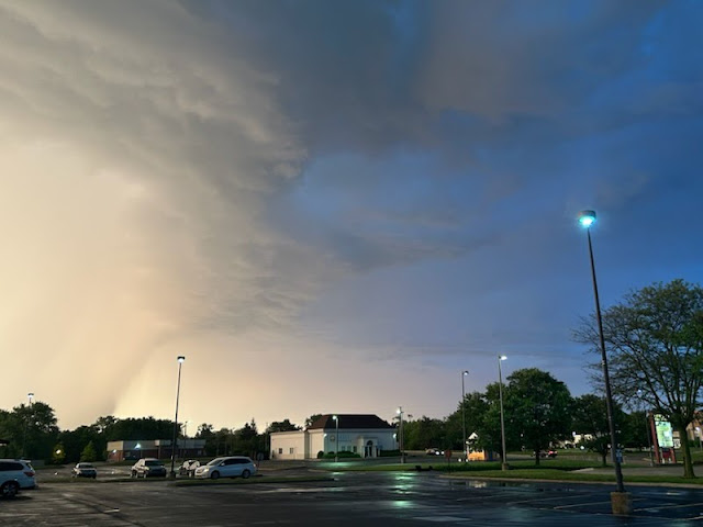
Wow. Just WOW! I've never ever seen anything like this. This is the first time I've ever heard of a PDS warning in the Indiana. A PDS warning means / stands for "Particularly Dangerous Situation. There were several of those.
The radar lit up at 6:30pm and would not let up until 9:30pm. In all likelihood, a tornado touched down on the south side of Bloomington Indiana in the Clear Creek area just close to I-69. I saw the hook signature on my weather radar app that is called "WeatherWise". See it here:
WeatherWise is the best free weather app out there. Ryan Hall uses it and promotes it also.
The second tornado hit the northern part of the county near Ellettsville. See it here:
Pictures from others and from around town: How to protect your car from 4 inch hail
Local people from the south side posted on Reddit.
Me at the Runcible Spoon.
And do you remember that eerie part where the skies cleared up and the sun came out at exactly 7:35pm and people thought it was all over; remember that?
A friend of mine sent me these from Indianapolis. Thanks MB!


No comments:
Post a Comment